Maps for your apps
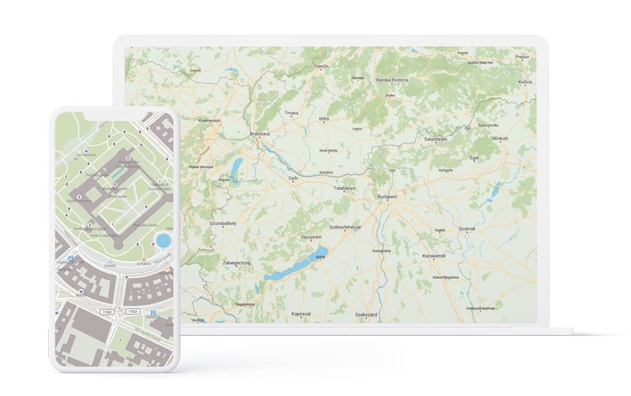
Display interactive maps on the web or mobile using open source rendering libraries, such as MapLibre GL. Raster or vector tiles – using our Mapcherry API we’ve got you covered.

Custom datasets
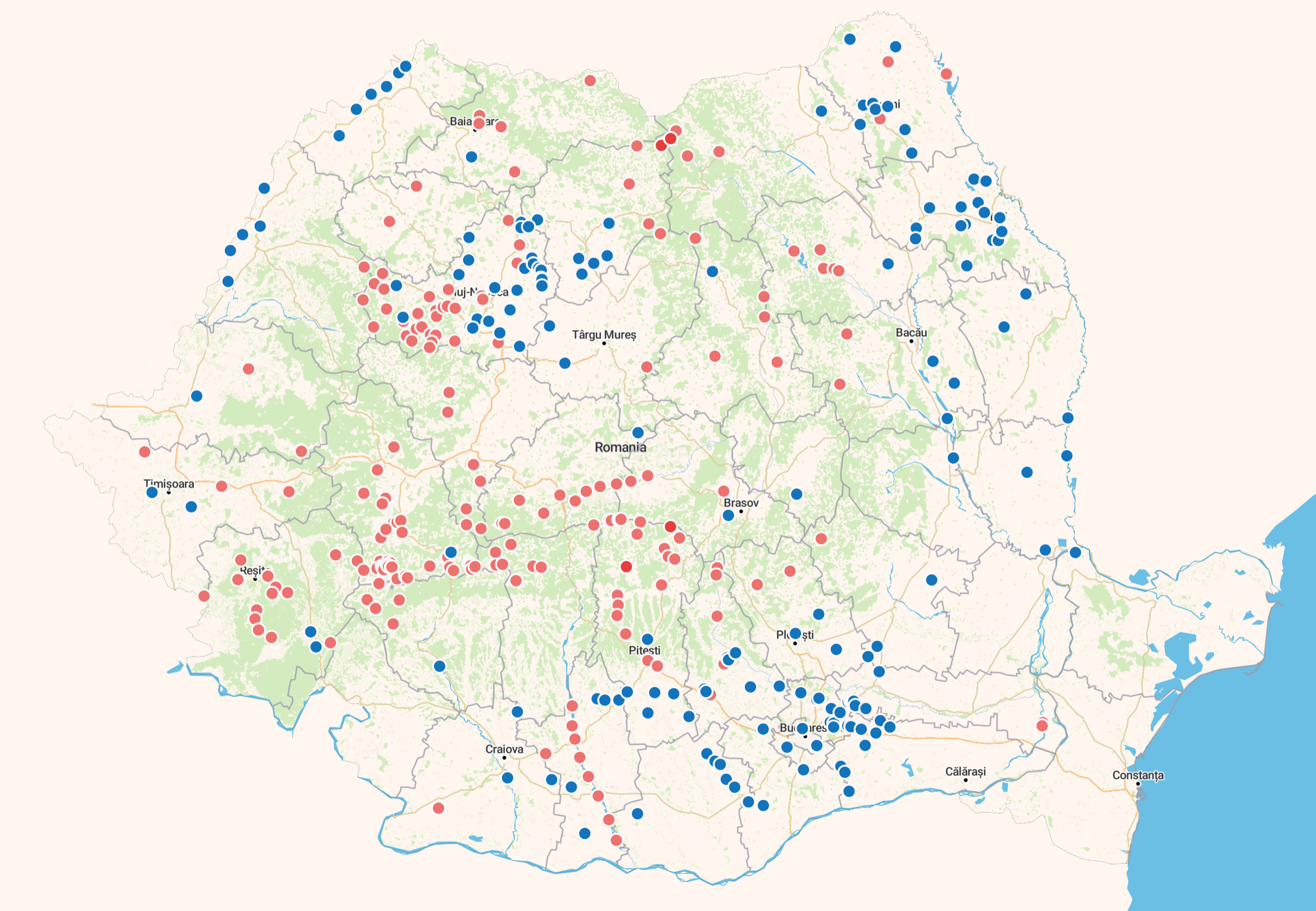
Custom datasets require processing and integration into your app. You can choose from our existing datasets or you can contact us and we’ll create, process, integrate the dataset that you require.
Embedded maps
Integrate dynamic embedded maps into your solution or website. Dynamic embedded maps allows customization, zoom in or out capabilities and other lovely features.
Other services
Learn more about our services
Custom Map Solution
Develop your custom map solution
Data creation - Mapping
Create our update existing GeoDatasets for your use-case.


