Services / Mapping
Geodata creation & mapping
z14 · x1 · y0Our maps are built on open datasets like OpenStreetMap. Whether an area needs to be added, corrected or created from scratch, we produce and maintain the geodata your application depends on.

Custom dataset creation
We build custom vector datasets from scratch to your exact specification — coordinate system (EPSG), geometry and attributes. Delivered in the format you work with, or integrated directly into your existing application alongside your team.
Update OpenStreetMap
Missing roads, buildings, POIs or mountain trails? Our experienced OSM mappers survey and edit the features your application depends on — and the improvements flow straight into your tiles.
See the difference
Before and after our mapping
The same area before and after our team filled in the missing streets and features — then regenerated into your map tiles.
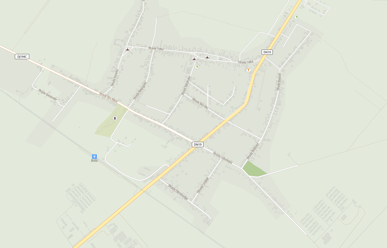
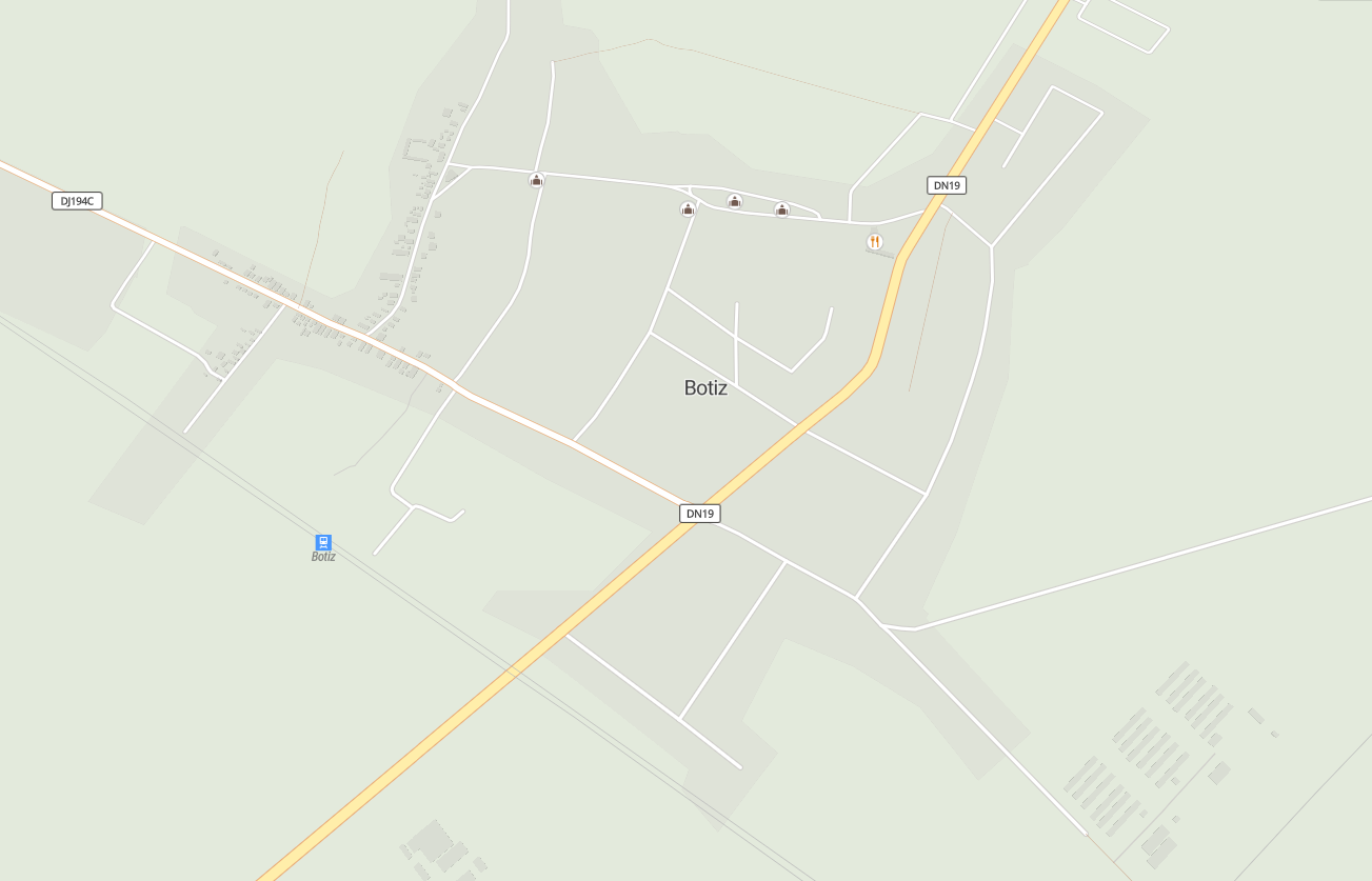
Drag the slider to compare the map before and after our mapping work.
The process
How the mapping works
- 01
Identify areas of interest
We work with you to pinpoint the key areas and elements on the map that need consolidation.
- 02
The mapping
Our experienced OSM mappers update your area — adding buildings, roads, road-lane information and other features that suit your application.
- 03
Update the map tiles
Once editing is done we regenerate the map tiles so you always have access to an up-to-date map.
Have a map in mind? Let's build it.
Tell us what you're mapping and we'll come back with an approach — whether that's tiles off the shelf or something entirely custom.